Subra hiking tour – From Sea to Summit
Experience a beautiful hiking tour in the hinterland of Herceg Novi to the summit of Subra, one of the Mediterranean’s most prominent peaks. This exceptional hiking tour is designed for enthusiasts seeking to conquer great heights, starting at sea level and ascends to the summit of Subra mountain within approximately six hours by foot or in the shorter version that we suggest below.

Ideal for individuals possessing advanced fitness levels and mountain hiking knowledge, participants will be challenged by the terrain while being rewarded with stunning natural beauty. The tour offers a rare opportunity to witness the striking contrast between the azure waters of the sea and craggy mountain landscapes.

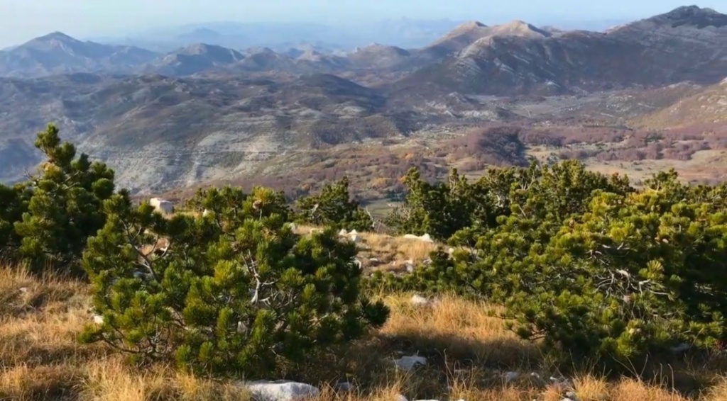
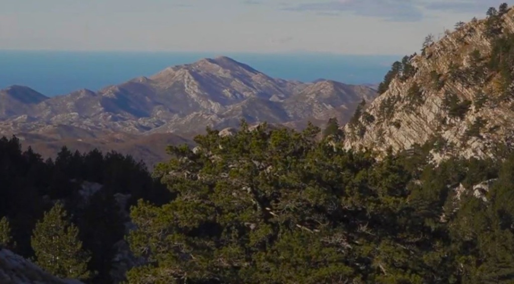
Subra is a gem within the Orjen massif, situated south of Veliki (Zubački) kabao peak. Despite its modest elevation compared to other giants in its range, Subra’s proximity to both sea and sky creates panoramic vistas encompassing east-west valleys as well as distinct geological formations like the renowned “Subra plateau” and “Subra amphitheater”. These features make it not only a destination for avid hikers but also for visitors drawn by its unique allure.

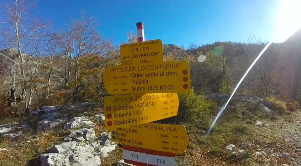
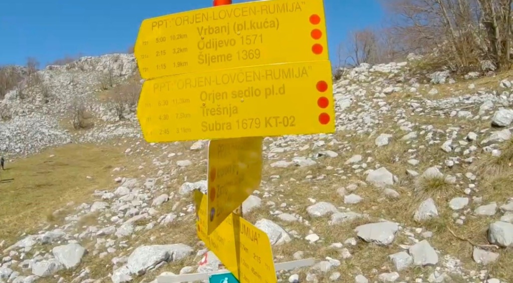
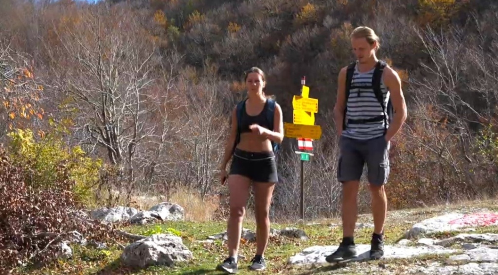
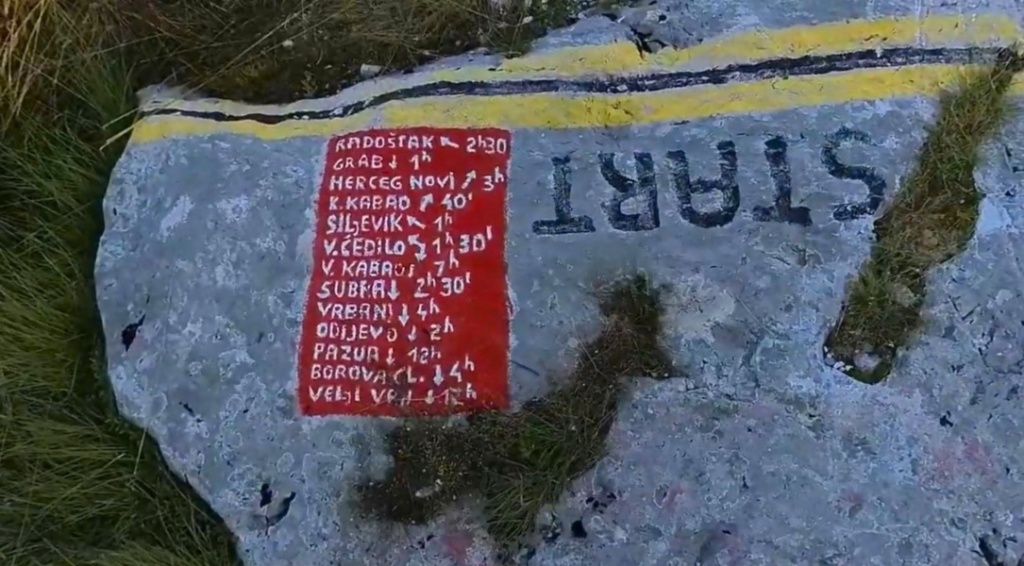
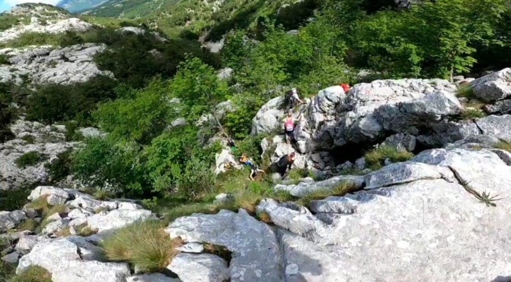
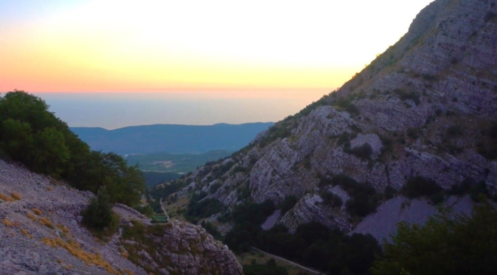
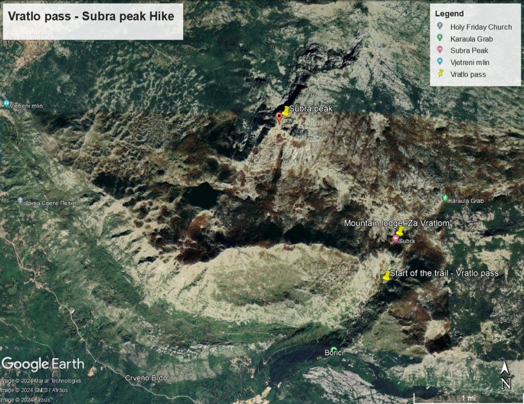
This scenic hiking adventure starts at 1,004 meters above sea level from the macadam road Borići – Orjen Sedlo planinarski dom (mountain lodge). The trail is clearly marked for hikers and leads through challenging terrain including a poorly maintained macadam stretch leading up to the Vratlo pass. Upon reaching the pass located at 1,178 meters above sea level, it will take just over half-hour of hiking from the beginning of the trail. This hike includes winding serpentines towards its final segment.

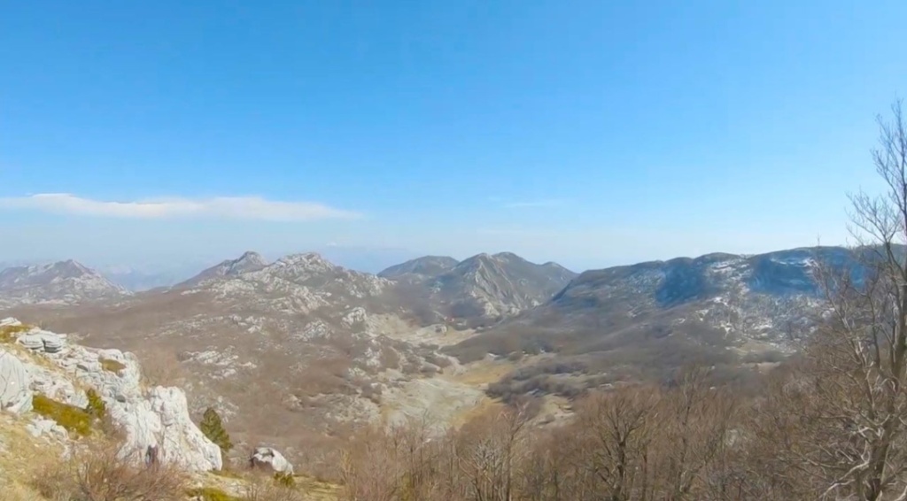
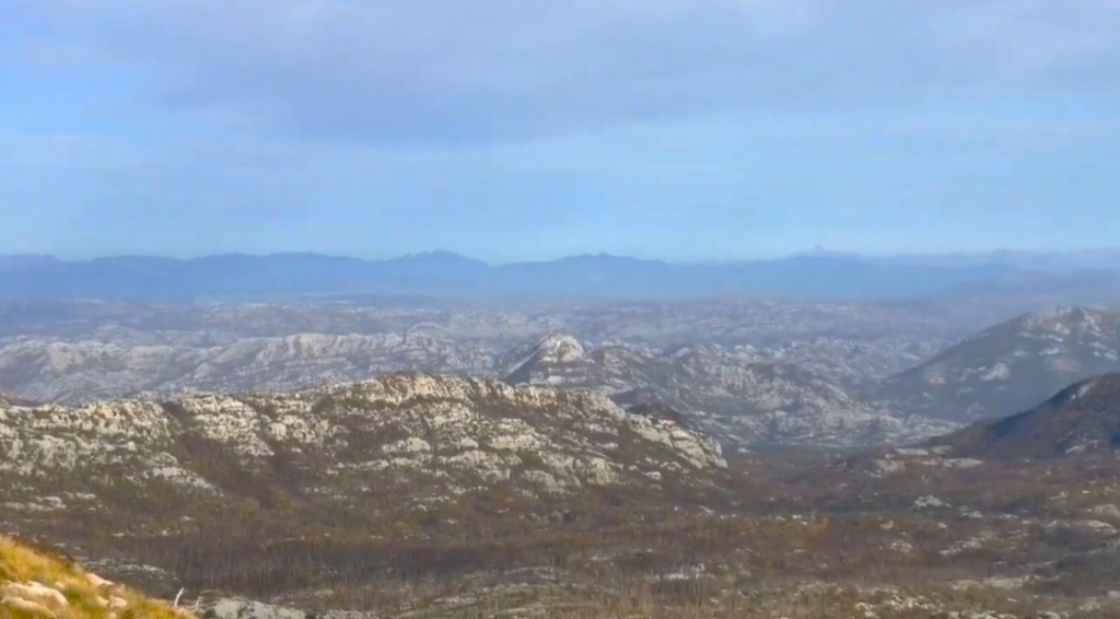
As hikers ascend and go beyond Vratlo pass’s elevation point, they’re rewarded with breathtaking panoramic views. These include vistas of their traversed path as well as sights of Subra peak’s grandeur and the expansive valley below stretching eastward. Additionally, there is a picturesque view of the nearby mountain lodge enhancing outdoor experience.

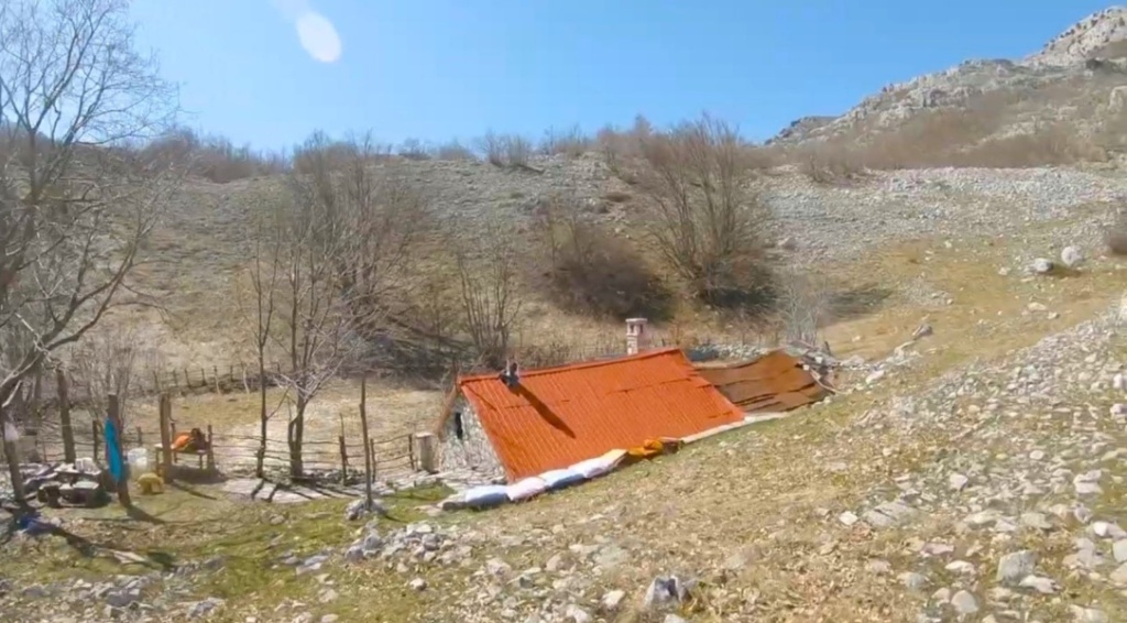
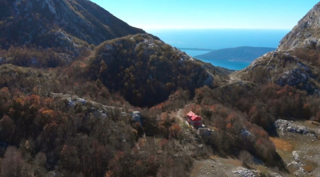
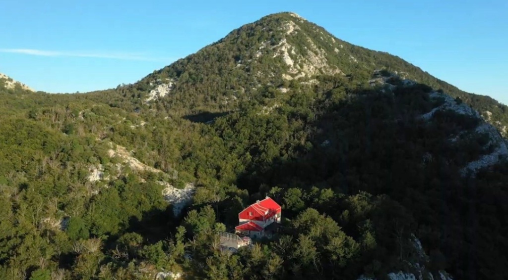
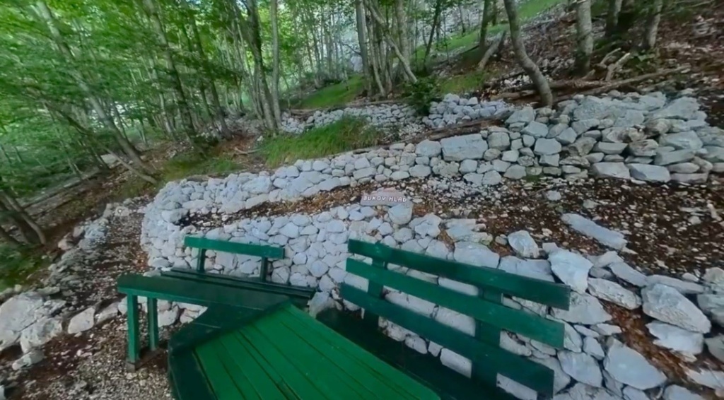
The mountain lodge “Za Vratlom” is a charming retreat built in 1962 and meticulously reconstructed in 2011. This well-maintained lodge boasts a stunning location amidst lush forest scenery with breathtaking views of Subra peak.

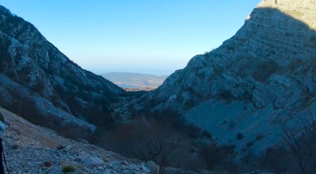
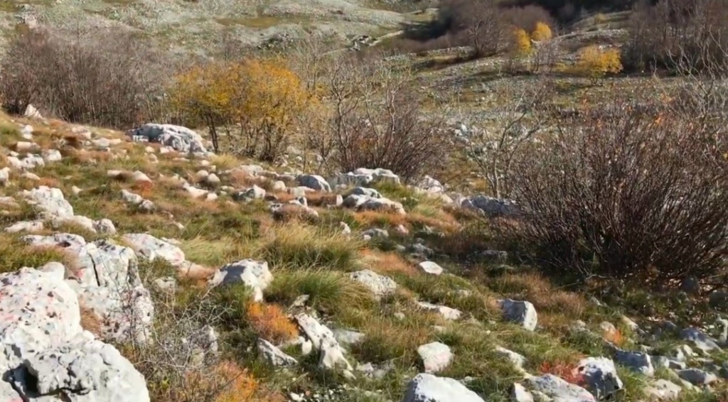
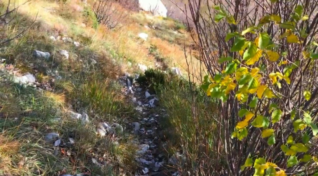
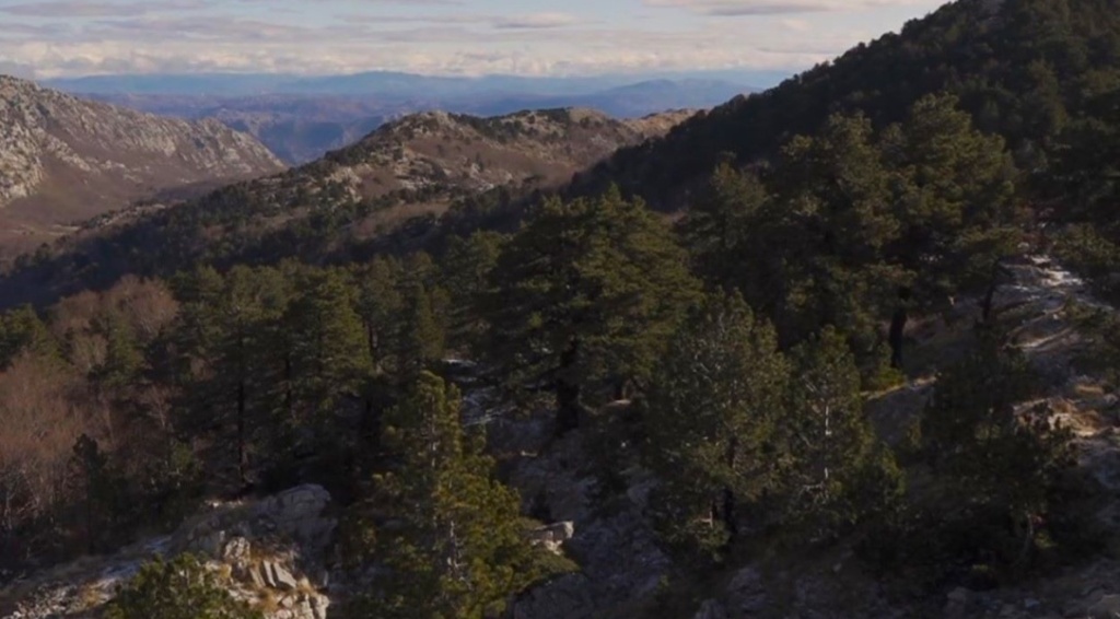
Your adventure commences with a gentle descent into a capacious valley, followed by trekking along grassy-stony terrains bordering the valleys until reaching the base of Subra.

With the summit constantly within sight, hikers can enjoy easy orientation enhanced by excellently marked trails.

The route takes trekkers through notable landmarks such as Kamenska ravan and Duboki do, picturesque katuniste of Kameno village before before reaches the summer cottage of the Mandic family, which is located at the very foot of Subra.

A steeper ascent is a captivating trail experience starting from a hut, which immediately offers a challenging climb towards the summit.

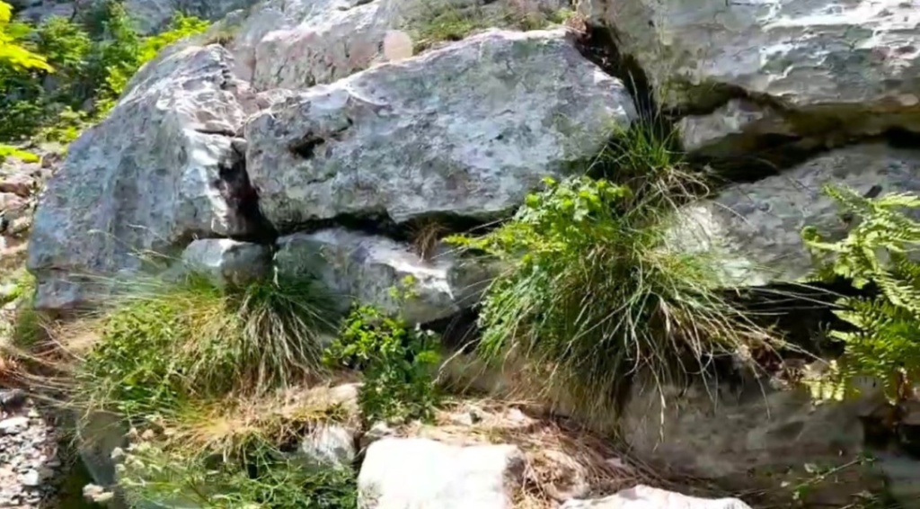
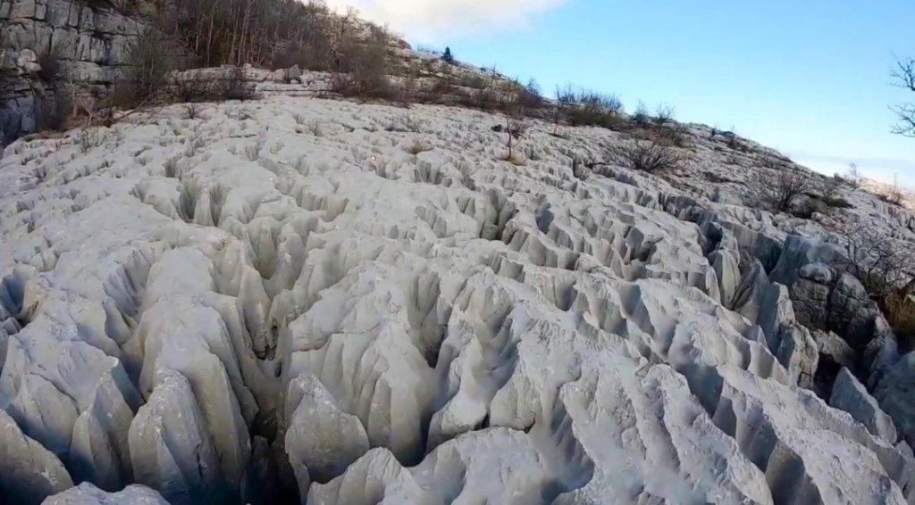
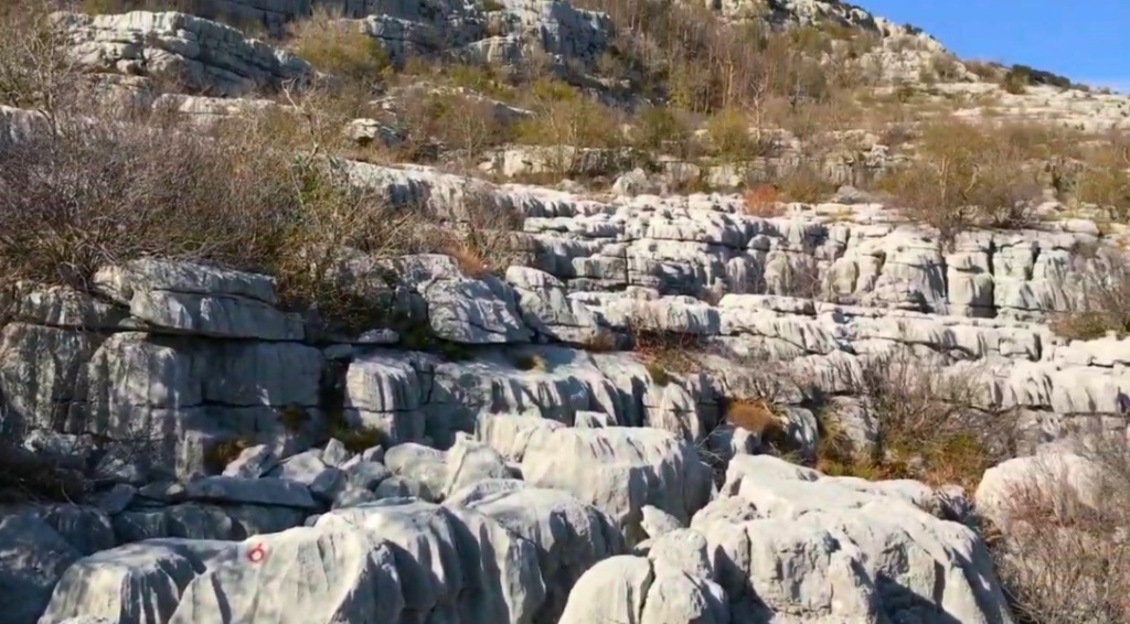
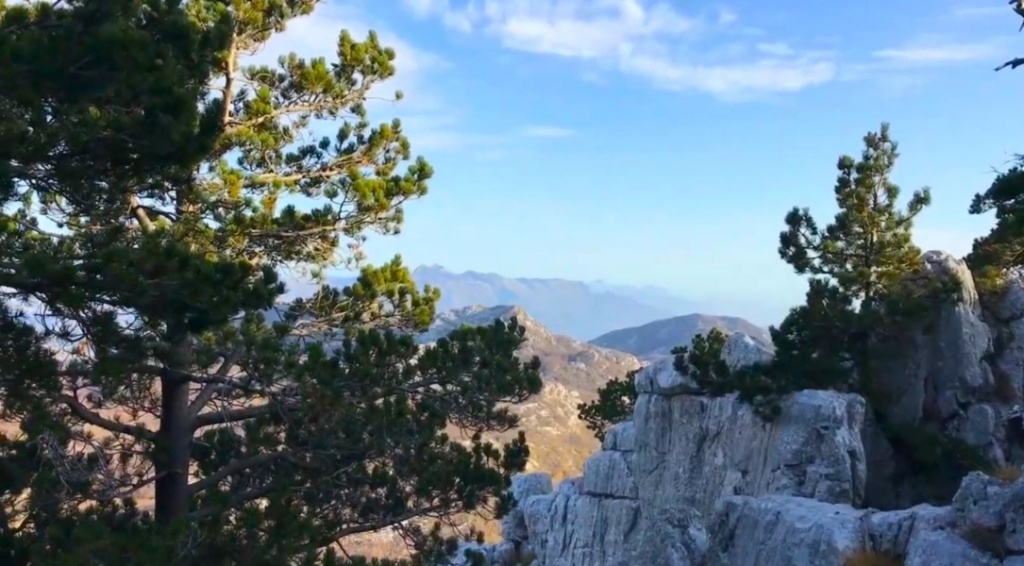
The journey begins by traversing through a sparse forest and shortly thereafter, hikers encounter a series of stone slab terraces, a unique and unusual environment characteristic of karst landscapes, offering alternating sequences of terrain.

This intriguing “game” of karst formations is particularly rare and enthralling, showcasing the distinctiveness of the Dinarides region.

The trail’s allure lies in these peculiar geological structures, making Subra a must-visit destination for those seeking to immerse themselves in such extraordinary surroundings.

As adventurers progress along the path, they will be greeted by varying scenes within the karst relief landscapes.

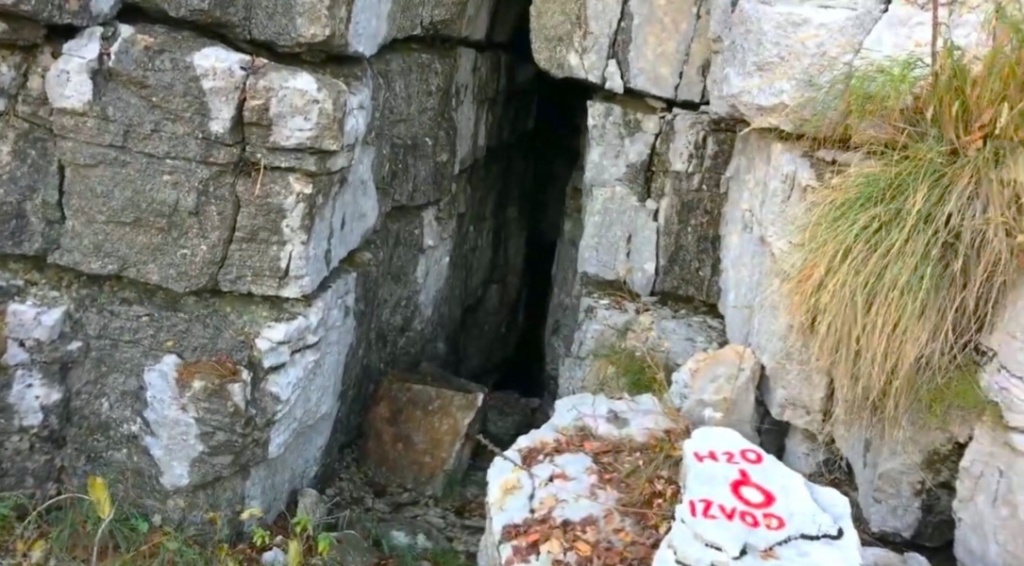
One notable feature includes deep pits scattered across the terrain each presenting its own wonder and mystery. The deepest being Nikolina jama (Nikola’s pit) at 188 meters.

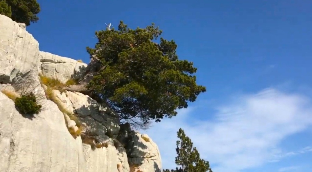
Beyond the stone terraces awaits another section of sparse forest. This contrasting return to wooded areas provides hikers with diverse ecological experiences as they continue their ascent.

Near the path on that part, hikers will encounter Vilino guvno a traditionally significant plateau used for social gatherings and grain threshing, located on the left side. This stone feature boasts a flat elevation in the middle.

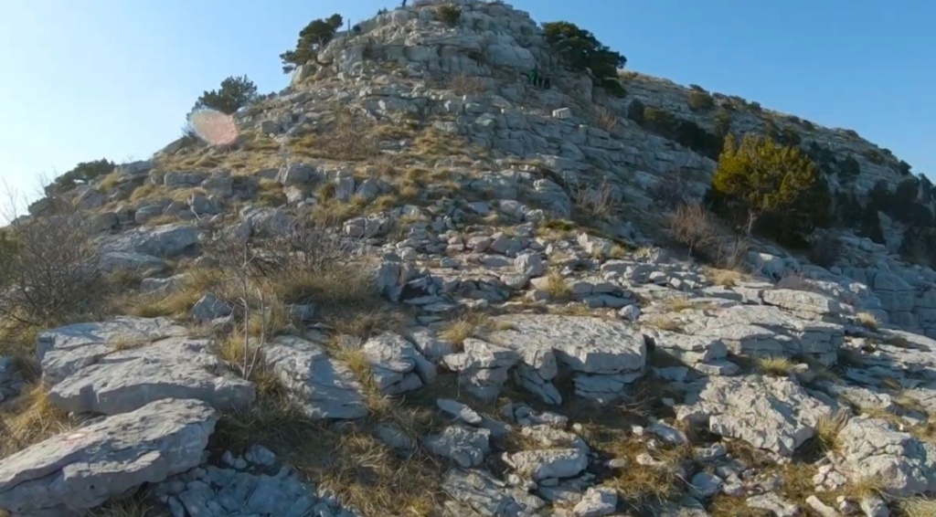
As hikers approach the summit via the final stretch of the trail, they will traverse through sections interspersed with grass and stone structures.

This part of the trail is considerably easier compared to the steeper stone terraces encountered earlier along their journey.

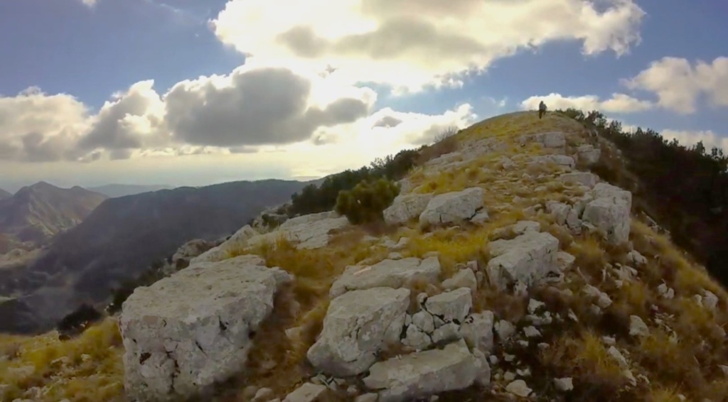
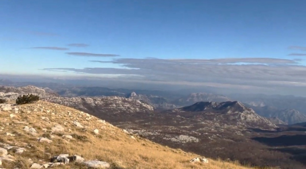
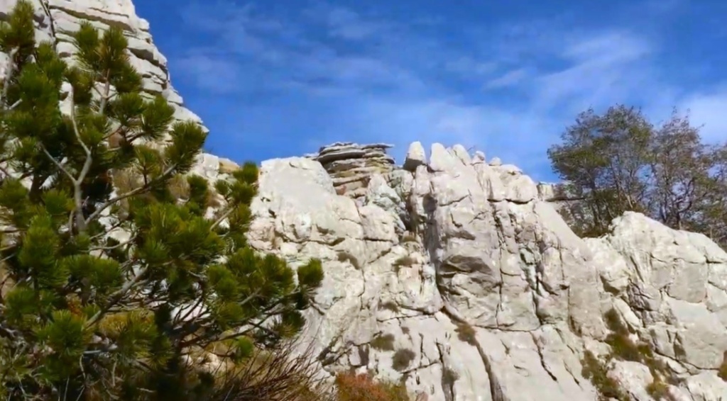
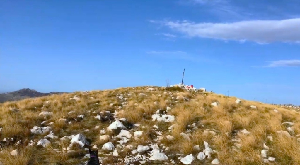
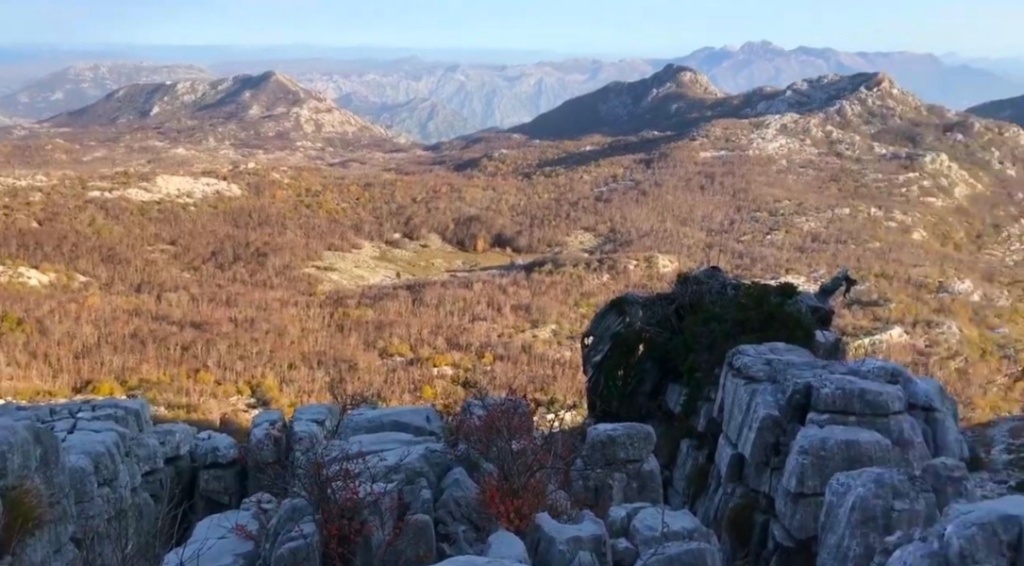
Upon reaching Subra’s top, visitors can indulge in expansive and unobstructed panoramic views due to its wide-open grass-covered topography free from large obstructions.

At the top is a pillar with directions for further movement, pile of stones as a symbol of the peak, registration book sheltered within a box and accompanied by a seal, inviting climbers to commemorate their ascent officially.

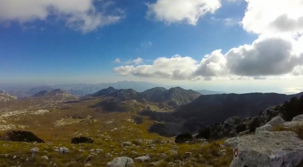
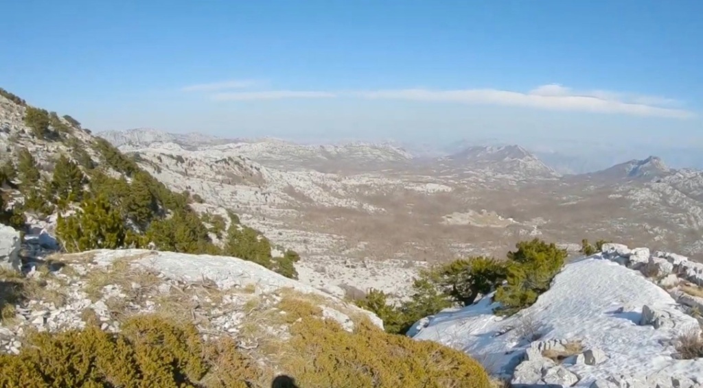
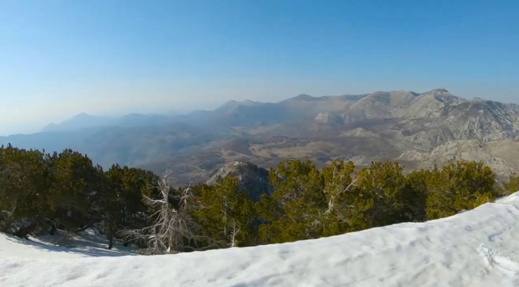
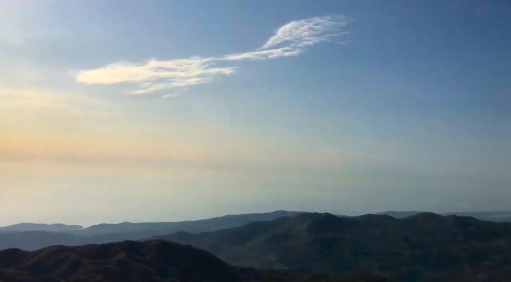
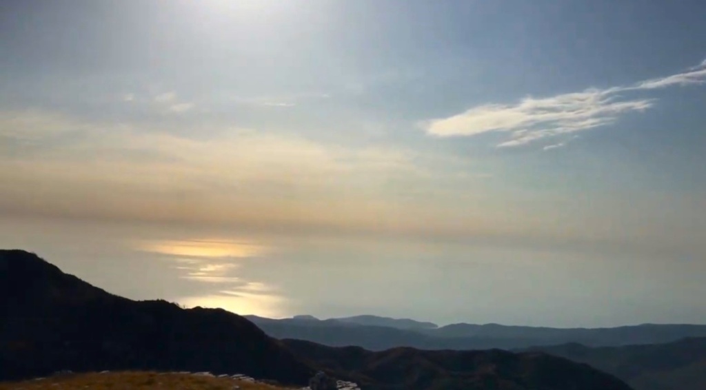
Enjoy breathtaking panoramic vistas. This exceptional vantage point offers a unique opportunity to gaze upon the stunning landscapes of Orjen, Reovačke grede, Veliko Ćedilo, and Prokletije.

Immerse yourself in the majestic beauty of Lovćen, Rumija, and the serene Adriatic Sea.

The picturesque views extend to Vrbanj and the Herzegovina mountains, providing a diverse array of natural splendor. Whether seeking inspiration or tranquility, Subra provides a window to some of the most extraordinary sights nature has to offer.

Tour summary:
The start of the trail: From the macadam road Pod Vratlom 1.004 meters above sea level
Final destination: Subra peak 1.679 meters above sea level
Altitude difference: 675 m
Trail difficulty: Medium II
Track length: 5 km
Time required for the ascent: 3 h
Physical fitness: High
The most favorable period of the year for climbing: Summer and autumn
Picture gallery Subra Hiking